Yesagyo Township
Script error: No such module "Settlement short description".Page Module:Infobox/styles.css has no content.Page Template:Infobox settlement/styles.css has no content.
Yesagyo Township | |
|---|---|
| Lua error in package.lua at line 80: module 'Module:InfoboxImage/data' not found. Location in Pakokku district | |
| Script error: No such module "Infobox mapframe". | |
| Lua error in Module:Location_map at line 526: Unable to find the specified location map definition: "Module:Location map/data/Myanmar" does not exist. | |
| Coordinates: Lua error in package.lua at line 80: module 'Module:ISO 3166/data/MM' not found. | |
| Country |  Myanmar Myanmar |
| Region |
|
| District | Pakokku District |
| Population | Template:Fix comma category |
| • Density | Script error: No such module "ConvertIB". |
| Template:Pluralize from text | Template:Pluralize from text |
| Time zone | UTC+6:30 (MMT) |
| Template:Pluralize from text | 062Template:Pluralize from text |
| [1] | |
Script error: No such module "Check for conflicting parameters".
Yesagyo Township (Yaesagyo Township) is a township of Pakokku District in the Magway Region of central Myanmar. The principal town and administrative seat is Yesagyo.
The township is served by the Chaung-U to Pakokku railway.
Borders
Yesagyo is the easternmost township of Magway Region. The Chindwin River and then the Irradwaddy form the eastern boundary of the township except for a small area on the eastern side of the Chindwin directly across from the town of Yesagyo,[2] which area was formerly an island in the Chindwin.[3] Yesagyo Township is bounded by the following townships:[4]
- Salingyi Township, Sagaing region, to the north;
- Chaung-U Township and Myaung Township of Sagaing Region, to the northeast;
- Myingyan Township and Taungtha Township of Mandalay Region to the southeast;
- Pakokku Township to the southwest; and
- Myaing Township to the west.
Sights
The wooden Pakhangyi Monastery on brick foundations was constructed by King Mindon in 1886 and restored in 1992.[5] In 1992 the Pakhangyi Archaeological Museum was opened there. In 1996 Burma applied for World Heritage Site status for the site.[6]
Notes
Page Template:Reflist/styles.css has no content.
- ^ Page Module:Citation/CS1/styles.css has no content."National Telephone Area Codes". Myanmar's Net. Archived from the original on 2011-06-15. Retrieved 2010-12-17.
- ^ "Magway Division, Myanmar"[dead link] map ID: MIMU270v01, creation date:15 Jul 2010, Myanmar Information Management Unit (MIMU)
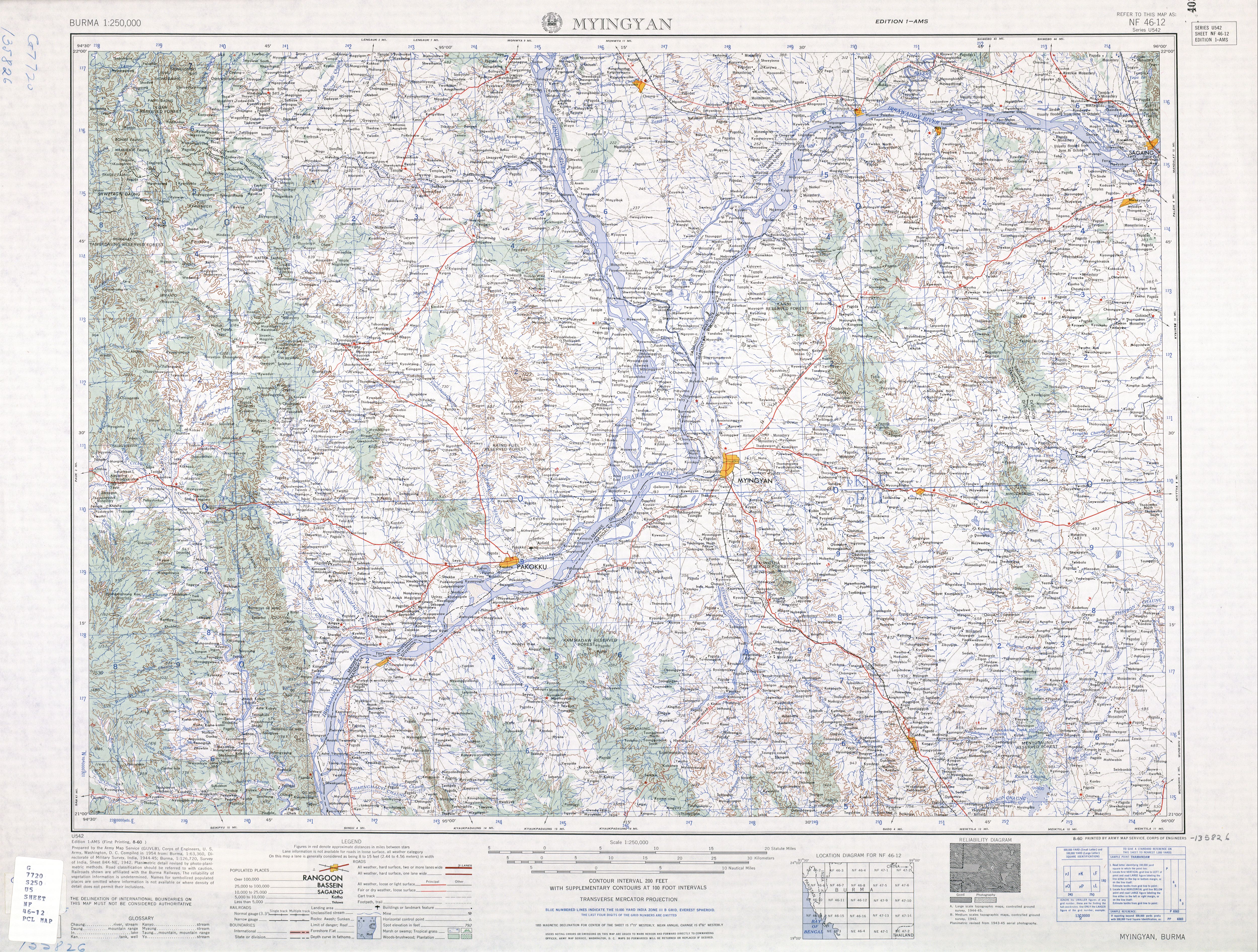
- ^ "Burma 1:250,000 topographic map, Series U542, NF 46-12, Myingyin" U.S. Army Map Service, August 1960
- ^ "Myanmar States/Divisions & Townships Overview Map" Myanmar Information Management Unit (MIMU)
- ^ "Pakhangyi monastery" Asterism Travels & Tours - Myanmar
- ^ "Wooden Monasteries of Konbaung Period: Ohn Don, Sala, Pakhangyi, Pakhannge, Legaing, Sagu, Shwe-Kyaung (Mandalay) (04/10/1996)" Tentative Lists UNESCO World Heritage Centre
External links
- "Yesagyo Township - Magway Division"[permanent dead link] map ID: MIMU154v01, creation date: 5 June 2010, Myanmar Information Management Unit (MIMU)
- "Yesagyo Google Satellite Map" Maplandia World Gazetteer
Lua error in package.lua at line 80: module 'Module:Navbox/configuration' not found.