Kaladan River
Page Module:Infobox/styles.css has no content.
| Kaladan Chhimtuipui, Kissapanadi, Beino, Bawinu, Bawinung (Boinung) | |
|---|---|
| Lua error in package.lua at line 80: module 'Module:InfoboxImage/data' not found. View of the river at Kyauktaw in Myanmar. | |
| Script error: No such module "Infobox mapframe". | |
| Native name | Template:Native name checker |
| Location | |
| Country | Myanmar, India |
| State | Chin State, Rakhine State, Mizoram |
| Physical characteristics | |
| Mouth | Sittwe |
• location | Bay of Bengal, Myanmar |
• coordinates | Lua error: callParserFunction: function "#coordinates" was not found. |
• elevation | Template:Infobox river/calcunit |
| Length | Template:Infobox river/calcunit |
Basin size | Template:Infobox river/calcunit |
| • minimum | Template:Infobox river/calcunit |
| • average | Template:Infobox river/calcunit |
| • maximum | Template:Infobox river/calcunit |
| Basin features | |
| Progression | Bay of Bengal |
| River system | Kaladan River |
| Tributaries | |
| • left | Twe, Mi, Kalabon, Kyegu |
| • right | Chal, Tio, Tuichang, Mat, Kawrthingdeng |
Script error: No such module "Check for conflicting parameters".
The Kaladan (Template:Langx, Script error: No such module "IPA".) or Kissapanadi River (Template:Langx, Script error: No such module "lang".), also known as the Beino, Bawinu and Kolodyne, is a river in the eastern Mizoram State of India, and in Chin State and Rakhine State of western Myanmar.[3] The Kaladan River is called the Chhimtuipui River in India.[4] It forms the international border between India and Myanmar between 22° 47′ 10" N (where its tributary, the Tiau River, joins it) and 22° 11′ 06" N.[3]
History
Ancient Arakanese cities such as Dhanyawadi and Waithali were situated on the eastern bank of Kaladan River.
The Kaladan was an entry point to Mizoram from the seaport of Sittwe in 1904. The Kaladan is Mizoram's largest river, flowing through that state's southeastern region.[5]
Geography
The river arises in central Chin State as the Timit, Lua error: callParserFunction: function "#coordinates" was not found., and flows south and is soon joined by the Chal, after which it is known as the Boinu River. It continues south until just before it is joined by the Twe River at Lua error: callParserFunction: function "#coordinates" was not found., when it swings west. It continues west until Lua error: callParserFunction: function "#coordinates" was not found., when it heads northwest. At Lua error: callParserFunction: function "#coordinates" was not found., below Mount Phabipa, it turns north and becomes the international border between India and Myanmar. It flows north to Lua error: callParserFunction: function "#coordinates" was not found., where the international border continues north along the Tyao River, and the Boinu heads northwest into Mizoram State, at which point it is known as the Kaladan.
At Lua error: callParserFunction: function "#coordinates" was not found. it reaches its northernmost point, and turns south west, is joined by the Tuichong River from the right and then heads south.[6] The Kaladan is joined from the right by the Mat River at Lua error: callParserFunction: function "#coordinates" was not found.. It continues south and is joined by the Kawrthingdeng River from the right. It again enters Chin State, at Raithaw Ferry, Lua error: callParserFunction: function "#coordinates" was not found.,[6] just northwest of Khenkhar. The Mi River joins from the left at Lua error: callParserFunction: function "#coordinates" was not found..[7] At Ngame the river enters the Rakhine State of Myanmar and continues south to Sittwe where it enters the Bay of Bengal.
Development
At present, the Kaladan is the fifth largest river in the world that is completely unfragmented by dams anywhere in its catchment, behind only the Fly, Mamberamo and Sepik in New Guinea and the Pechora in Russia.[8] Nonetheless, the governments of India and Myanmar are working on a US$500 million, Kaladan Multi-Modal Transit Transport Project that will facilitate trade between the two nations.[9] The project includes the construction of the US$120 million deepwater Sittwe Port at the mouth of the river, dredging of the Kaladan River to enable cargo vessels to navigate the river from Sittwe to Mizoram, the construction of a river port at Paletwa, as well as the widening and upgrade of highways between Paletwa and Myeikwa on the Indo-Myanmar border.[10] India undertook the development of the 158 km river boat route from Sittwe seaport to the Inland Water Terminal (IWT) and hydropower project at Paletwa jetty via the Kaladan River in Myanmar.[11][12] River dredging and a jetty upgrade were completed in June 2017.[11][12] There is at least one river lock for navigation.[13] The project will open up not only Mizoram but all of India's northeastern states as hinterland for the Sittwe Port. Construction for the port started in 2010 and is expected to be completed by mid-2020.[needs update]Template:DMCA
Development of the river is also being negotiated with the Shwe Gas Project for economic enhancement.[14][failed verification]
See also
- Kaladan Multi-Modal Transit Transport Project
- East-West Industrial Corridor Highway, Arunachal Pradesh
- Arunachal Border Highway
- Asian Highway Network
- India-Myanmar-Thailand Friendship Highway
References
Page Template:Reflist/styles.css has no content.
- ^ Page Module:Citation/CS1/styles.css has no content.Christer, Nilsson; Catherine, Reidy, Liermann; Mats, Dynesius; Carmen, Revenga (2005). "Fragmentation and Flow Regulation of the World's Large River System". Science. 308 (5720): 405–408. doi:10.1126/science.1107887.
{{cite journal}}: CS1 maint: multiple names: authors list (link) - ^ Page Module:Citation/CS1/styles.css has no content.Stuart, Sam (3 September 2013). Register of International Rivers: Prepared by the Centre for Natural Resources, Energy and Transport of the Department of Economic and Social Affairs of the United Nations. Elsevier. ISBN 9781483188294.
- ^ a b NF 46-7 "Gangaw, Burma" U.S. Army Map Service topographic map 1:250,000, 1954, first printing April 1958
- ^ [https://www.thestatesman.com/supplements/north/still-under-construction-1502635461.html Still under construction[, The Statesman.
- ^ Page Module:Citation/CS1/styles.css has no content.Pachuau, Joy (13 April 2015). The Camera as a Witness. Cambridge University Press. p. 153. ISBN 9781107073395.
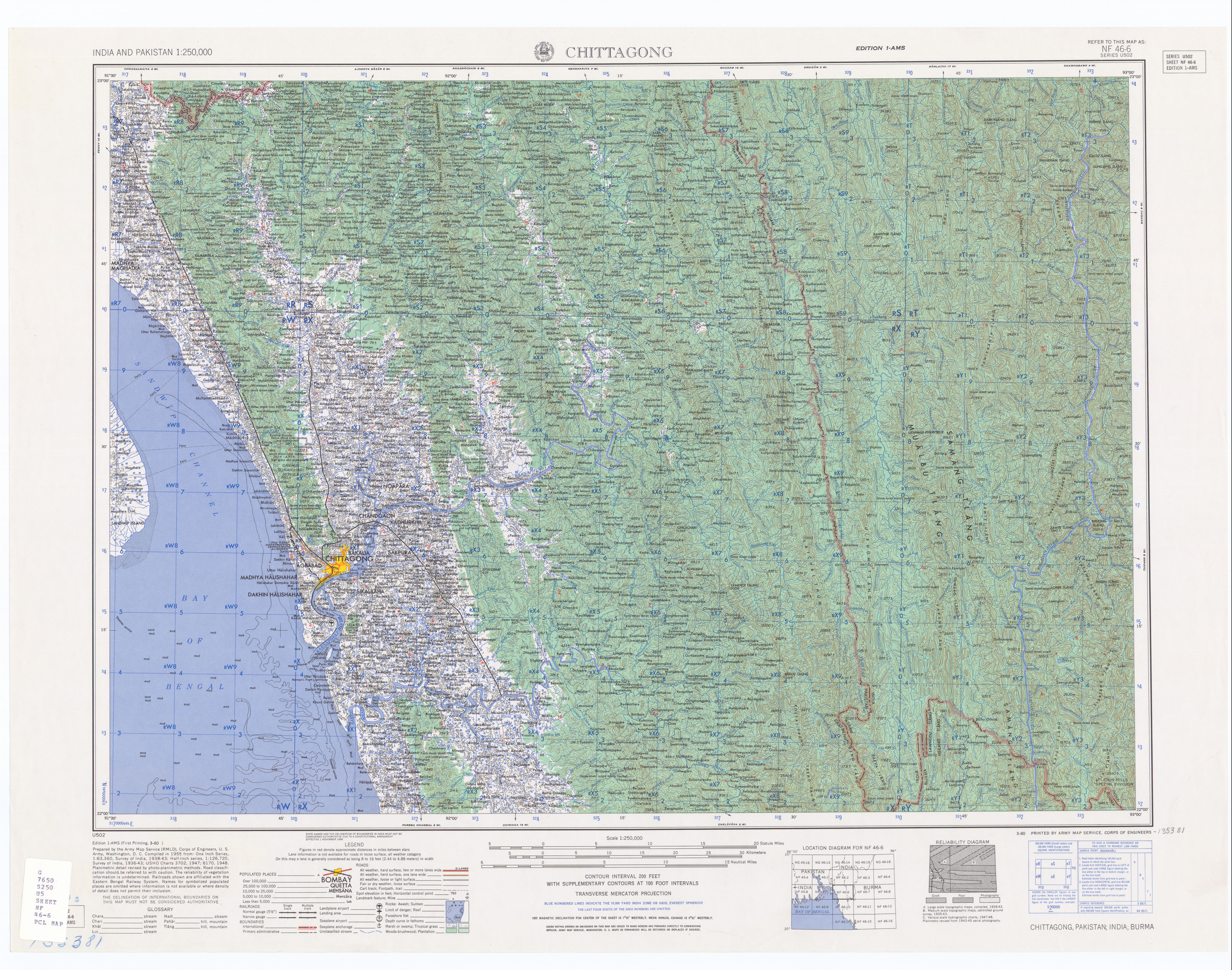
- ^ a b NF 46-6 "Chittagong, Pakistan" U.S. Army Map Service topographic map 1:250,000, 1955, first printing March 1960
- ^ "Cox's Bazar, Pakistan" U.S. Army Map Service topographic map 1:250,000, 1954, first printing March 1960
- ^ Page Module:Citation/CS1/styles.css has no content."Fragmentation and Flow Regulation of the World's Large River Systems" (PDF). Archived from the original (PDF) on 30 March 2012. Retrieved 12 January 2013.
- ^ The Hindu Business Line : `Work on Kaladan river project in Mizo to start soon'
- ^ Page Module:Citation/CS1/styles.css has no content."Construction of Sittwe Port for Kaladan Multiple River Project Starts". Indo-Burma News. 1 December 2010. Archived from the original on 1 April 2012. Retrieved 14 October 2011.
- ^ a b India awards road contract to complete Kaladan project in Myanmar, Business Line, 9 June 2017.
- ^ a b India ramps up Myanmar ties
- ^ India's connectivity to Myanmar.
- ^ Page Module:Citation/CS1/styles.css has no content."The Shwe Project — Shwe Gas Movement [For a Sustainable Future in a Free and Democratic Burma]".[dead link]
External links
Page Module:Side box/styles.css has no content.Page Template:Sister project/styles.css has no content.
- "Boinu Hydroelectric Project (640 MW)" Script error: No such module "webarchive"., Ministry of Power, Government of India
- Kaladan.com - news covering Indo-Myanmar Kaladan project
Lua error in package.lua at line 80: module 'Module:Navbox/configuration' not found. Template:Hydrography of North-east India Lua error in package.lua at line 80: module 'Module:Navbox/configuration' not found.