Boteti River
Template:Short description Template:DMCA Template:DMCA
Page Module:Infobox/styles.css has no content.
| Boteti River Botletle, Botletli | |
|---|---|
| Lua error in package.lua at line 80: module 'Module:InfoboxImage/data' not found. The Boteti River | |
| Script error: No such module "Infobox mapframe". | |
| Native name | Template:Native name checker |
| Location | |
| Country | Botswana |
| Region | Okavango Delta |
| Physical characteristics | |
| Mouth | Sua Pan |
• location | Botswana |
• elevation | Template:Infobox river/calcunit |
| Length | Template:Infobox river/calcunit |
Basin size | Template:Infobox river/calcunit |
| • minimum | Template:Infobox river/calcunit |
| • average | Template:Infobox river/calcunit |
| • maximum | Template:Infobox river/calcunit |
Script error: No such module "Check for conflicting parameters".
The Boteti River (also spelt as Botletle[1][2] or Botletli)[3] is a natural watercourse in Botswana of 1700 km in length. It derives flow from the core Okavango Delta through the Thamalakane River in Maun.
Hydrology
In the rainy season, the Boteti discharges to the Makgadikgadi Pans,[1] bringing that area alive with seasonal activity and high biological productivity.[4] In the dry season, the Boteti is particularly important to provide wildlife an area to congregate, since most seasonal ponds and drainages are then devoid of water.[5]
The Boteti flows southeastward[6] out of the Thamalakane River swamp at Toteng, then flows northeastward past Tlkaseoulo, over Ghautsa Falls, and then flows east past the villages of Makalamabedi,[7] Muekekle, and Matima, and then at Kwaraga, it turns south past the villages of Phukumakaku, Khumaga (Lekono), Sukwane, Rakops (Jakops), and Xhuma (Khomo).[2] It then flows past Lake Xau (or in a very wet year into and out of Lake Xau) and then heads east past the village of Mopipi (Madista) and into the Ntwetwe Pan.[2]
The Boteti stretches from Ngamiland to the main Boteti District, where it is used to fill the Mopipi Dam, which is important to the many diamond mines of the area, particularly the Orapa diamond mine.[5][8] The diversion of the river has left many residents without an adequate source of fresh water; moreover, they could no longer enjoy fishing and other activities in the river.
History
In the early and mid-20th century, the lower Boteti, below Sukwane, was a major grain-producing area, with over 2,000 ha under cultivation until 1980. However, the number and extent of wet years has declined, and the river was channelised below Rakops to increase flow to the Mopipi Dam.[9] It flowed year-round before the mid-1990s,[1] after which decreasing flows led to seasonal desiccation in some lower reaches.
See also
References
Page Template:Reflist/styles.css has no content.
- ^ a b c Helgren, David M. (1984) "Historical Geomorphology and Geoarchaeology in the Southwestern Makgadikgadi Basin, Botswana" Annals of the Association of American Geographers 74(2): pp. 298–307, page 298
- ^ a b c Johannesburg Sheet 34, Edition 5, TPC, 1970, Series 2201, U.S. Army Map Service
- ^ Page Module:Citation/CS1/styles.css has no content."Profile. Okavango" (PDF). UN.
- ^ Hogan, C. Michael (2008) "Makgadikgadi" at Burnham, A. (editor) The Megalithic Portal
- ^ a b Page Module:Citation/CS1/styles.css has no content.Murphy, Alan; Armstrong, Kate; Firestone, Matthew D.; Fitzpatrick, Mary (2007). Lonely Planet Southern Africa. Lonely Planet Publications. p. 100. ISBN 978-1-74059-745-6.
- ^ Boteti River (n.d.). In Encyclopædia Britannica online. Retrieved 28 January 2019
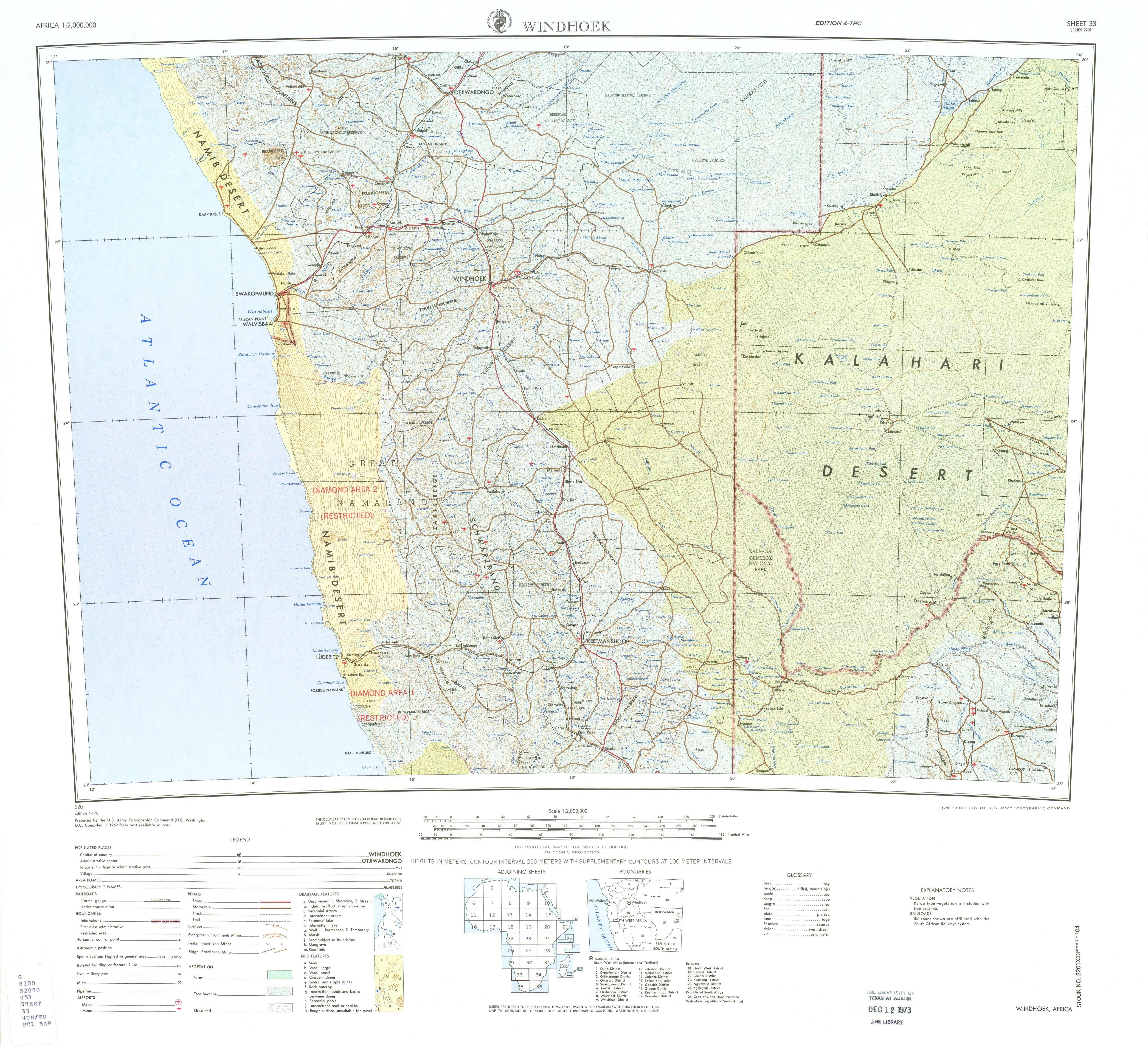
- ^ Windhoek Sheet 33, Edition 4, TPC, 1969, Series 2201, U.S. Army Map Service
- ^ Breyer, J. I. E. (1983) "Soils in the Lower Boteti Region, Central District, Botswana" National Institute for Development Research and Documentation, University of Botswana, Gaborone, page 32, Template:Catalog lookup link
- ^ Page Module:Citation/CS1/styles.css has no content.Scudder, T. (1993). The IUCN review of the Southern Okavango Integrated Water Development Project. The IUCN Wetlands Programme. Gland, Switzerland: International Union for Conservation of Nature and Natural Resources (IUCN). p. 90. ISBN 978-2-8317-0114-1.
Lua error in package.lua at line 80: module 'Module:Authority control/config' not found.
Lua error: callParserFunction: function "#coordinates" was not found.