Harrell Shale
Page Module:Infobox/styles.css has no content.
| Harrell Shale Group | |
|---|---|
| Stratigraphic range: Frasnian | |
| Type | Group |
| Sub-units | Burket Shale[1] |
| Underlies | Brallier Formation, Sonyea Formation, Trimmers Rock Formation |
| Overlies | Mahantango Formation, Millboro Shale, and Tully Limestone |
| Lithology | |
| Primary | shale, sandstone |
| Location | |
| Region | Appalachian Mountains |
| Country | United States |
| Type section | |
| Named by | Charles Butts, 1918[2] |
Script error: No such module "Check for conflicting parameters".
The Devonian Harrell Formation is a mapped bedrock unit in Pennsylvania, Maryland, West Virginia, and Virginia.
Description
The Harrell Formation was first described by Charles Butts in 1918. Hasson and Dennison (1978) state "The Harrell Shale consists of very dark gray, thinly laminated, platy- to sheety-weathering shale underlain in certain areas by the grayish black shale of the Burket Member."[3]
Fossils
Hasson and Dennison reported the following fossils from several outcrops of the Harrell:[3]
- Bivalvia: Buchiola livonae (?), B. retrostriata, Paracardium doris, Pterochaenia fragilis, Lunlulicardium (?)
- Cephalopoda: Bactrites aciculum, Probeloceras lutheri
- Cricoconarida (class of Mollusca): Styliolina fissurella
Notable Exposures
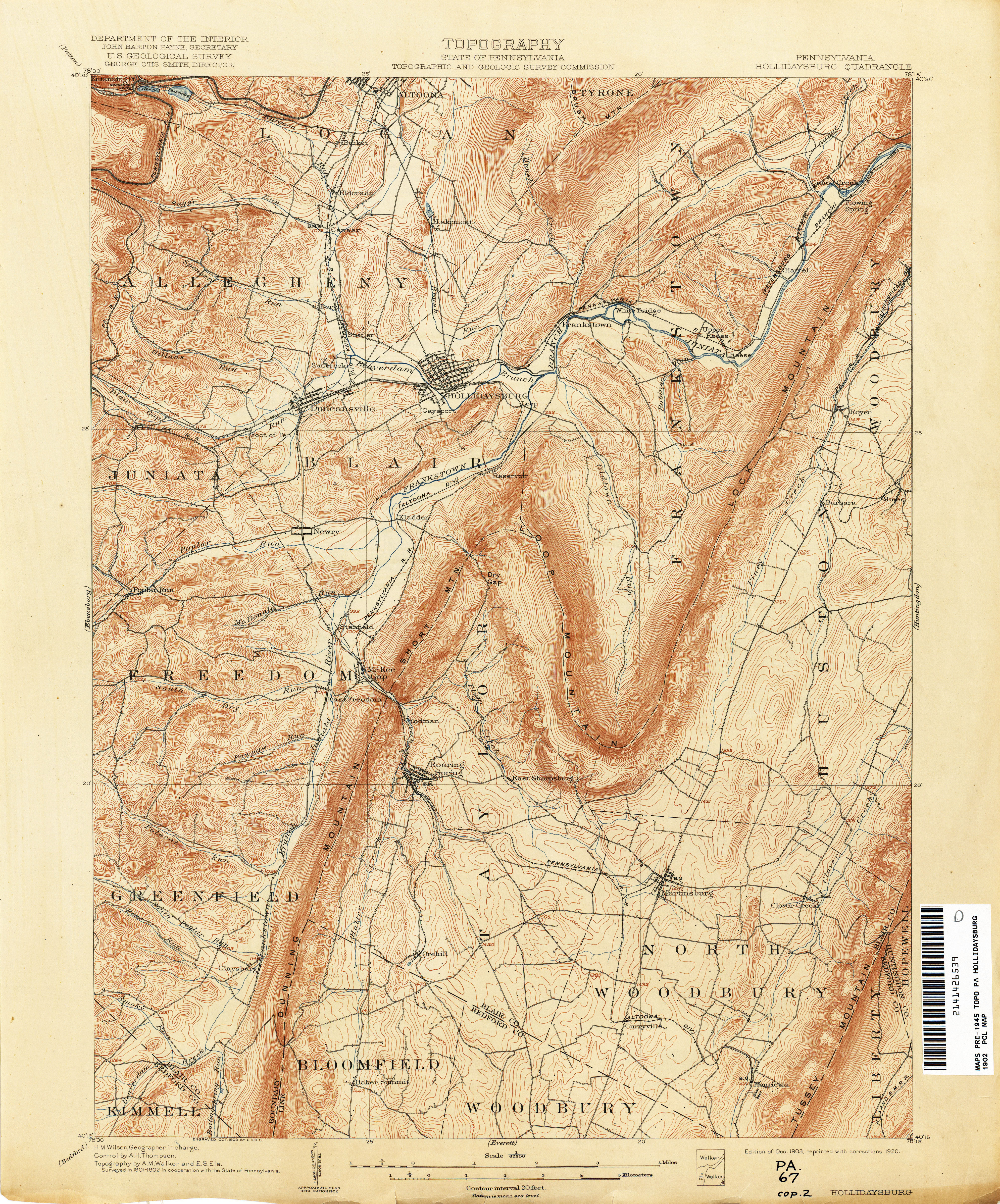
Type locality is at Horrell Station, Blair County, Pennsylvania (Lua error: callParserFunction: function "#coordinates" was not found.).[2] In 1918, when Butts described and named the type section, the USGS topo map spelled the location "Harrell",[4] but the local spelling was "Horrell".[5][6]
Age
Relative age dating places the Harrell in the late Devonian.
References
Page Template:Reflist/styles.css has no content.
- ^ de Witt, Wallace, Jr., Roen, J.B., and Wallace, L.G., 1993, Stratigraphy of Devonian black shales and associated rocks in the Appalachian basin, IN Roen, J.B., and Kepferle, R.C., eds., Petroleum geology of the Devonian and Mississippian black shale of eastern North America: U.S. Geological Survey Bulletin, 1909-B, p. B1-B57.
- ^ a b Butts, Charles, 1918, Geologic section of Blair and Huntingdon Counties, central Pennsylvania: American Journal of Science, 4th series, v. 46, p. 523-537.
- ^ a b Hasson, Kenneth O., and Dennison, John M., 1978, STRATIGRAPHY OF THE DEVONIAN HARRELL AND MILLBORO SHALES IN PARTS OF PENNSYLVANIA, MARYLAND, WEST VIRGINIA, AND VIRGINIA, Project Final Report for Energy Research and Development Administration Contract #EY-77-C-21-8153, May 1978 [1]
- ^ Page Module:Citation/CS1/styles.css has no content.""Topography: Hollidaysburg Quadrangle"". Department of the Interior. 1920.
- ^ Page Module:Citation/CS1/styles.css has no content."Another McAbee plant explosion". The Pittsburgh Post. 18 August 1904. p. 5.
- ^ Page Module:Citation/CS1/styles.css has no content."Blair County Pennsylvania Railroad Stations".